
Tag: Esri
4 posts tagged with "Esri"

CityEngine 3D Building Models of Berlin Mitte
This Github project contains a Esri CityEngine project with ground plane, streets, parcels and 3D models of Berlin Mitte (2x2km) based on the open data provided by Berlin’s Senatsverwaltung für Stadtentwicklung und Wohnen (https://www.stadtentwicklung.berlin.de/).
According to the copyright of the source data (see link above) you may use and modify this project as you like, but commercial use is prohibited.
The CityEngine project was originally created for a participatory urban planning application “Enabling DEMO:POLIS”, exhibited at the Berlin Academy of Arts in 2016. The source code for the application is available freely as well (see https://robotized.arisona.ch/enabling-demopolis/ for more information).
Compared to the source data, the 3D models in the CityEngine project have been cleaned up with great care (removing duplicate faces, fixing normals, merging vertices etc.). Thus, the model can easily be used for visualization, urban planning scenarios, etc.
Available on Github: https://github.com/arisona/berlin_3d
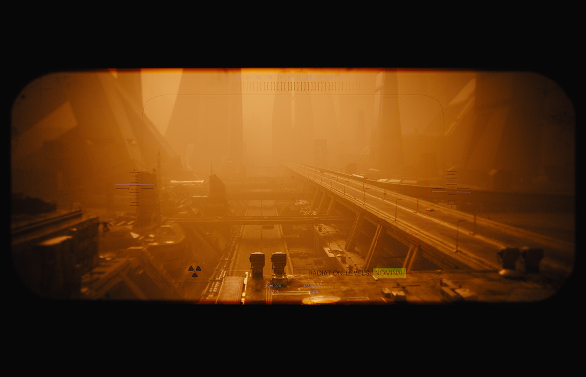
CityEngine used in Blade Runner 2049
Designers at Framestore used ArcGIS CityEngine to re-create portions of the city of Las Vegas, Nevada, as seen in the movie Blade Runner 2049. “We were tasked in creating a futuristic Las Vegas for the year 2049. We had to fly over the main strip of Vegas on a long sequence shot,” said Didier Muanza, lead environment TD, Framestore. “CityEngine seemed to be the best choice to help us generate a modern-day model of Vegas, which was used as the base for the futuristic version.” (via ArcGIS Blog)
And: “Framestore Montreal have been successful with CityEngine on Blade Runner 2049 which is coming out this week… 400 shots in total and lots of architecture design done with CityEngine: I strongly recommend you to check it out in an IMAX near you!” (Christophe Mesline, Framestore)
CityEngine nominated for 2015 Academy Awards
Good news: CityEngine is under consideration for the 2015 Academy Awards - the so-called “Tech-Oscars”. Fingers crossed!
Update: while we didn’t win, we’re still proud of the nomination!
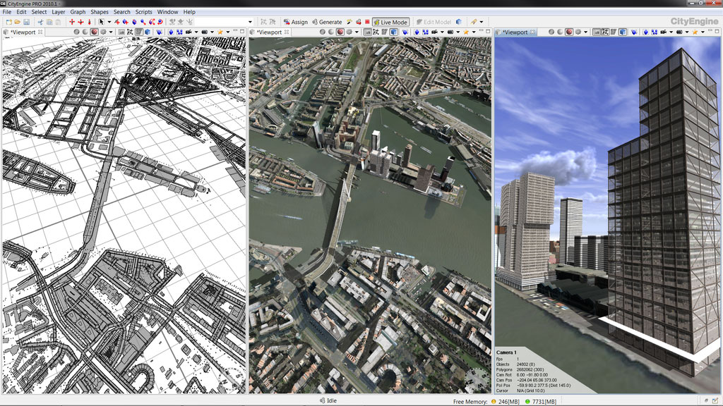
CityEngine - 3D City Modeling for Architecture, Film, and Games
ArcGIS CityEngine, is a 3D modeling software application developed by Esri R&D Center Zurich (formerly Procedural Inc.) and is specialized in the generation of three dimensional urban environments. With the procedural modeling approach, CityEngine enables the efficient creation of detailed large-scale 3D city models with merely a few clicks of the mouse instead of the time exhaustive & work intensive method of object creation & manual placement. CityEngine works with architectural object placement & arrangement in the same manner that VUE manages terrain, ecosystems & atmosphere mapping & is equally as diverse in its ability of object manipulation & environmantal conformity/harmony as its VUE counterpart. The recent acquisition of CityEngine by Esri is aiming to push the innovations in 3D GIS and Geodesign technology (from Wikipedia).
In 2008 I joined the ETH Zurich spin-off company Procedural Inc. as a software architect, and worked the general CityEngine software design, the real-time rendering core, and interactive 3D editing features.
CityEngine was quickly adopted by big players in different industry areas where fast 3D digital content creation is needed. Some examples are:
- Film: DreamWorks, Pixar, Weta Digital, Mr. X Inc., Fold7.
- Gaming: Blizzard Entertainment, Rockstar Games, Square Enix, THQ, Grasshopper Manufacture.
- Architecture and Urban Planning: Foster+Partners, Zaha Hadid Architects, SOM, Coop Himmelb(l)au.
- Government: Singapore Urban Redevelopment Authority, Brisbane City.
- Education: MIT, Stanford University, Harvard, Carnegie Mellon, ETH Zurich, Fraunhofer Gesellschaft.
- Others: Microsoft, IBM, Nvidia, Samsung.
More information: https://www.esri.com/software/cityengine
Company: Procedural Inc.
Position: Software Architect
Period: 2008 - 2011